Cloud Data
The clouds in the sky make a lot of difference to the weather. They can bring rain, snow, sleet or hail. They can make the day duller and stop the sun from shining. It is important to record both the amount of cloud, and the type of cloud.
There is more clouds information on the More About Clouds page.When you have finished reading about this you may want to return to Collecting Data.
What Are Clouds?
Clouds are made up of billions of tiny droplets of ice or water. Being in a cloud is like being in fog; wet and cold. Fog is in fact very low cloud. Each cloud droplet is so small and light that it is held up by air currents.
How Are Clouds Made?
Clouds are condensation, formed when warm air rises and is cooled to below a certain temperature, called the 'dew point'. This is a similar process to the condensation forming on a cold window. Droplets can form around a tiny speck of dust. They can join together to make bigger droplets.
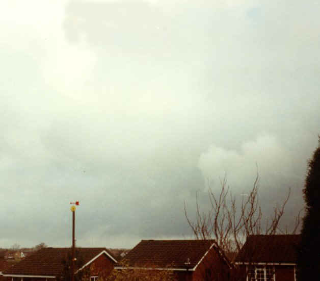
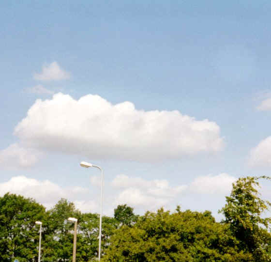
Amount of Cloud
To record the amount of cloud in the sky when you take your weather readings you must do two things. First, imagine that the cloud has all been pushed together in the sky. Secondly think about how much of the sky would be covered by the total cloud. Cloud amount is measured in eighths of the sky obscured by clouds. The largest number for cloud amount is 8, the smallest is 0 . Obviously when half the sky is covered it would be recorded as a 4.
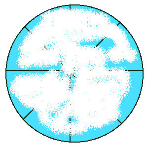
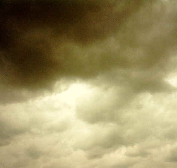
Example 1 |
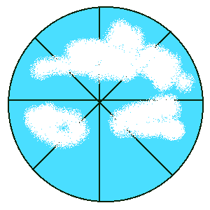
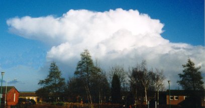
Example 2 |
 |
 |
This
example shows about 7 octas. |
This example shows about 4 octas. |
Height of Clouds
There are three main layers of clouds. The very highest layer, at the edge of the atmosphere, is the 'cirrus' layer. The lowest layer is called the 'stratus' layer. In between is the 'alto' layer. Knowing the names of these layers helps you with the names of the many different types of cloud. Some clouds can go through more than one layer.
Changing SkiesAlthough you may record the types and amount of cloud once a day, this may change many times during the day. The clouds can be blown across the sky by strong winds high up. This stop frame video shows how over a period of time the sky can change. The camera took one picture every 2 seconds and them made them into a speeded up video. You can see the strange movements of the twigs and the weather vane. Clouds do not really move this fast. |
No sound |
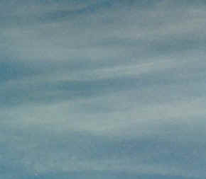
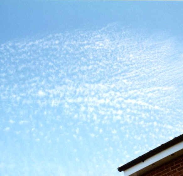
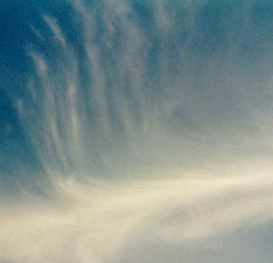
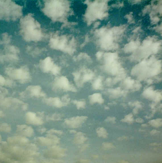
The Main Types of Cloud
There are three main types of cloud. These are 'feathers', 'layers' and 'lumps'. The 'feathery' clouds are found high in the sky and are very wispy. They are, in fact, ice crystals, being blown by very, very high speed winds. The 'layer' clouds are joined up cloud formations with very little blue sky showing through them. 'Lumps' of clouds are distinctive, separate amounts of clouds with sky in-between them. Some clouds are a combination of layers and lumps. It is not always simple to tell which is which.
Use the chart and the pictures to help you identify the cloud type. When you fill in your record sheet use the abbreviations in the brackets. If you see more than one cloud type, either write down all you see or write down the one which has most cloud in the sky.

Keep trying
Of all the things which you need to know to be a weather reporter, identifying clouds is perhaps the most difficult. The more books and photographs you have to look at the better you will be. Also you need to remember that the layers can overlap. Luke Howard (1772-1864) spent a lot of time observing the clouds in order to 'invent' this system of classifying clouds. Try to become familiar with the meaning of the prefixes such as 'alto' and 'cirro'. What does the root 'stratus' mean? This will help you to understand it all so that you do not have to learn every name individually.
Please Note
Please be conscious of any safety issues regarding these activities. When looking at the sky avoid looking directly at the sun, especially with optical instruments such as binoculars and cameras. Filters are generally not powerful enough to guarantee safe viewing of the sun.